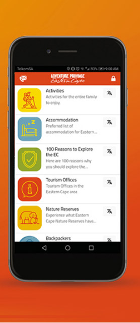
The Eastern Cape’s destination brand evolution from Adventure Province to Yours to Explore is rolling out on various platforms as part of the ECPTA’s digital transformation strategy. But we’ve also identified the advantages of the big-picture view appeal of a printed map.
Why plot a travel route on an old-school map? Digital technology provides the best itinerary from one point to another in seconds. Also, it prompts the traveller through each step of the journey? Travel by GPS or Waze, Apple or Google has all but replaced printed travel maps.
But there is still a place for a good old-fashioned paper map. GPS is not as reliable or accurate as it needs to be, especially when exploring off the beaten track. And people who rely exclusively on technology are missing out on boosting their navigational abilities and enhancing the sense of place while travelling.
The ECPTA CEO, Mr Vuyani Dayimani, states “One of the things evident when exhibiting the province on various platforms is the popularity of a map of the Eastern Cape. For me, this demonstrates that people enjoy self-drive and that they believe that they can navigate themselves through the province. With all the gadgets and apps available, you still find many people wanting a map. The smile you receive when handing a visitor a map reflects their joy in being able to put their navigational abilities to the test.”
The ECPTA is developing an updated Eastern Cape Visitor Map. It’s a DL fold-out highlighting the most popular tourist attractions and sites of interest. The back of the map features places and
experiences to explore, enticing travellers to learn about the many incredible opportunities they might otherwise have overlooked. For those who may feel a little tech-deprived using a paper map, QR codes link to a micro-site providing full details.
With 169 000 km2 of Eastern Cape to travel, a paper map is the ideal travel companion for plotting and planning scenic routes, with leeway to wander!
Watch this space for the release date!


